Digital operational services
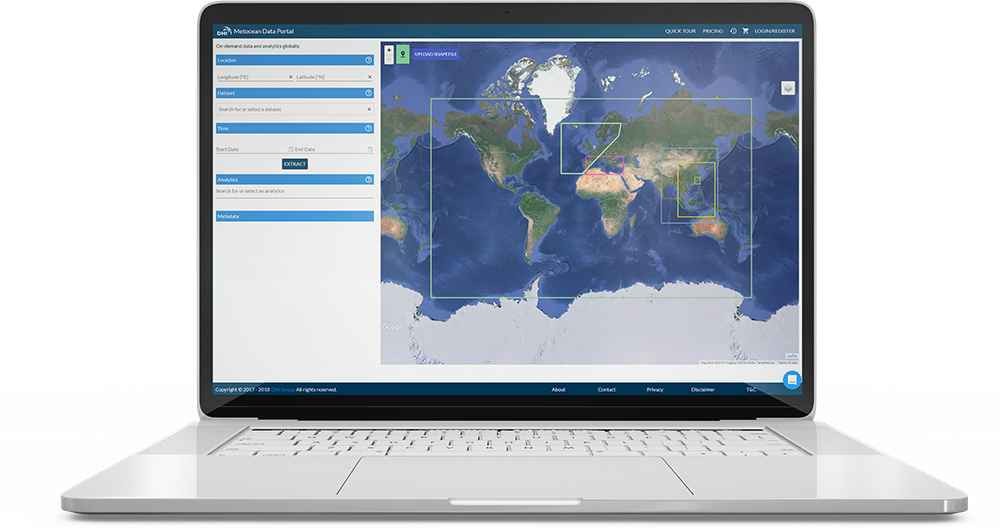
Technology frees us from traditional business boundaries and allows us to foster new kinds of customer relationships. Being simultaneous and in-the-cloud, the digital operational services we offer are transverse, accessible and seamless – translating to smarter business management for our clients all over the world.
Read our customer stories:

Digital water platform for Gothenburg, Sweden
The city of Gothenburg is threatened by rising sea levels and increased rainfall. This is a growing concern due to extensive expansion close to the river. We delivered a digital information platform, which includes automatic forecasting and model predictive control of the city’s huge waste water tunnel system. This solution directly reduced spills of untreated wastewater by 50%. This is a crucial step to meet recreational demands on the river, and a big step towards the vision: ‘The world’s best city when it rains’.

Neural network forecasting of water levels in Venice, Italy
Venice Water Authority through Consorzio Venezia Nuova (CVN) is responsible for operating the gates to safeguard Venice from storm surge flooding. DHI has been providing operational water level forecasts for CVN for more than 20 years. This year, we improved the system further using a machine learning model consisting of a neural network trained against 35 years of historical water levels, wind measurements and meteorological model data. This improvement is extremely valuable for the client who needs to know when to open and close the gates to protect Venice from flooding, and at the same time, disturb marine traffic as little as possible.

Satellite-derived water depths for Brisbane, Australia
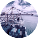
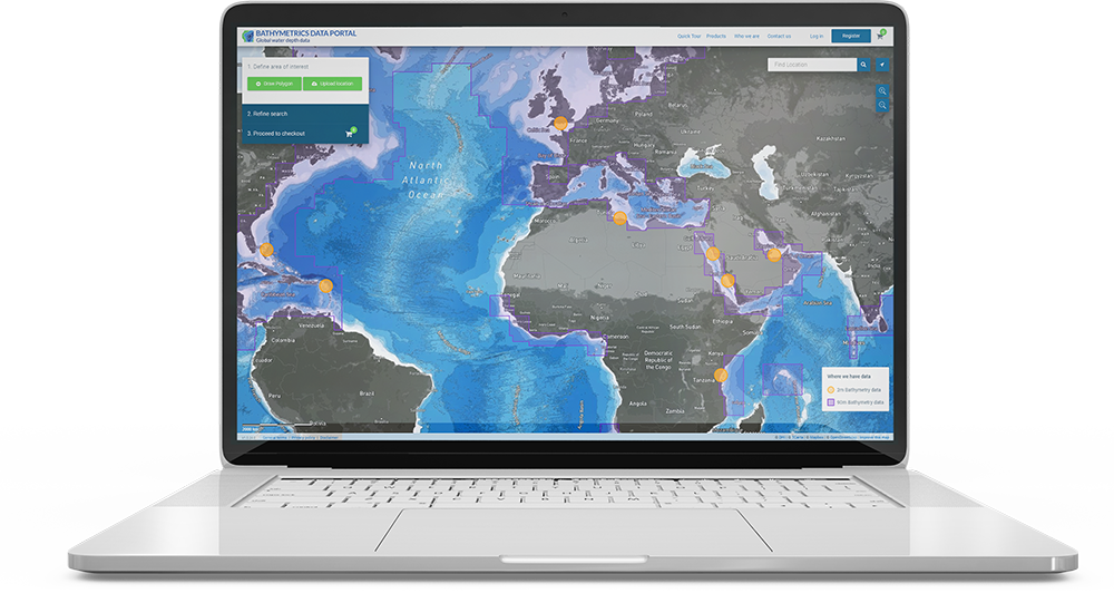
The Port of Brisbane is one of Australia´s fastest growing container ports and is responsible for maintaining navigable access for commercial shipping. However, variations in waves and water levels in the channel cause sand features to change rapidly. Instead of relying on routine surveys which are expensive, time-consuming and inconsistent, port authorities decided to use DHI’s satellite-derived water depth mapping – saving time and money while ensuring safe passage for ships at all times.


